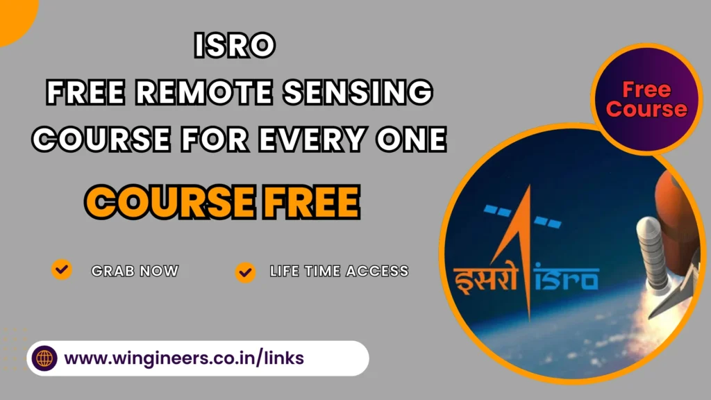
ISRO Free Remote Sensing Course 2025 | Eligibility | Apply Now
In a significant move to promote education and skill development in remote sensing, the Indian Space Research Organisation (ISRO) has launched a Free Remote Sensing Course for working professionals and students. This initiative aims to enhance knowledge and practical skills in remote sensing technologies, which play a crucial role in various sectors such as agriculture, environmental monitoring, urban planning, and disaster management.
If you are eager to learn about satellite data analysis, soil mapping, and environmental monitoring, this is an excellent opportunity to gain expertise in one of the most high-demand fields today.
| Company | TCS |
|---|---|
| Post | NQT Examination |
| Degree | All Degree |
| Branch | All Branch |
| Batch | 2020-2026 |
| Last Date | 19-Mar-2025 |
| Test Date | 31-Mar-2025 |
Table of Contents
ToggleWhat is Remote Sensing?
Remote sensing refers to the acquisition of information about an object or phenomenon without direct contact. This is achieved through satellite or aerial imagery, allowing experts to analyze land use, soil properties, environmental changes, and natural resources efficiently. The ability to extract valuable insights through remote sensing techniques is particularly beneficial for sustainable land and resource management.
Overview of the Free Remote Sensing Course
The Free Remote Sensing Course by ISRO is designed to provide participants with a comprehensive understanding of remote sensing principles, techniques, and applications. Some of the key topics covered in the course include:
Key Topics Covered
Fundamentals of Remote Sensing
Basic concepts of remote sensing
Types of remote sensing
Understanding the electromagnetic spectrum
Satellite Data Acquisition
How satellite data is collected
Processing techniques for satellite imagery
Soil Mapping and Classification
Techniques for mapping different soil types
Applications in precision agriculture
Applications in Agriculture
Crop monitoring and soil health assessment
Use of remote sensing in sustainable farming
Environmental Monitoring
Land degradation analysis
Deforestation and urbanization monitoring
Course Details
Scorecard-with a validity of 2 years View Sample Scorecard
Re-subscribe and improve unlimited chances to enhance your score
Free online learning course to help you prepare better
Free practice tests to crack the real test with ease Take a Sample Test
Google Free Course : Click Here
Morgan Stanley Associate Software Engineer :- Apply Now